
How Satellite Images are Being Used to Predict Poverty and Deliver Aid
Imagine you work for a humanitarian organization and it’s your job to draw up a map and pinpoint locations where you need to send aid ASAP. Sure, you could look at economic figures and name a few countries off the top of your head. But your budget and resources are limited, so how do you make sure your supplies are being delivered to the villages that need them most? Well now social and computer scientists are using satellite images to do just that.
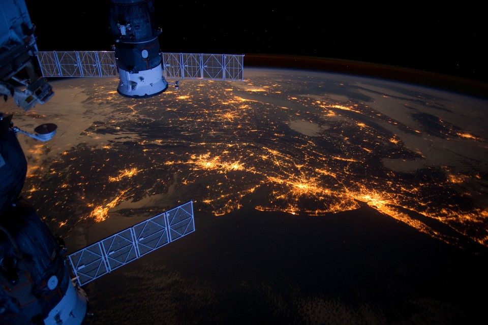
By comparing night and day satellite images and imputing socioeconomic data, Non-Government Organizations and humanitarian groups can now identify which areas need specific types of aid the most. It’s so simple it begs the question, “wait, why weren’t we doing that already?” Maybe the money wasn’t there, maybe the satellite images weren’t precise enough, or maybe they just hadn’t thought of it. But it’s available now.
So this method works pretty well for undeveloped or underdeveloped countries; mostly in Africa. In America this type of system wouldn’t work very well since poverty and wealth live basically side-by-side. The nighttime images can be used to see which villages have access to electricity. The daytime images are used to determine which villages have access to water and how far they have to travel to the market or water source. They can also determine a village’s poverty level based on what kind of materials are used to build the homes, and if the roads are paved or not. This helps pinpoint who needs water, who needs building supplies and contractors, who needs rice, who needs proteins, etc.

Arusha, Tanzania open market
The team of social and computer scientists led by Marshall Burke at Stanford University are working on monitoring five African countries: Nigeria, Tanzania, Uganda, Malawi, and Rwanda. They chose these because they all share similar economic and population data. Basically they have a lot of really poor people living in rural areas. Also, a lot of the really poor areas in African countries are kind of war zones. Nigeria, for example, has a bit of a Boko Haram problem. Ya know, the guys who pledged allegiance to ISIS last year and actually kill more people? As you can imagine, a lot of aid groups aren’t really jumping at the chance to go work in Africa’s poorest areas on the ground. These satellite images could help determine where to air drop supplies and staple foods.
So this could mean that one day soon, the US could be posted up somewhere in middle America sending drone bombs to one part of the world while an NGO sits in the building across the street drone-dropping aid.
Feature image:NASA

Follow Randi Nord on TWITTER
Randi Nord lives in Pontiac, Michigan. She is a journalist for the The Fifth Column, co-founder of Geopolitics Alert, and co-hosts a podcast about geopolitics.